Setting limits of areas with the same value, can come in handy when representing continuous phenomenon such as temperature, pollution or elevation.
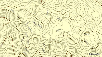
These isolines will help us understand the behavior on the surface of the phenomena that we are studying. To follow this action, use the Contour tool available in:
![]()
In this example we will create contour lines every 10 meters of a given digital territory model.
- Load to the tool the raster surface from which we want to obtain the isolines (in this case the given digital territory model).
- Specify the name and location of the “every 10 meters contour lines” vector file result.
The base contour value will stay 0 by default. It will be defined as needed to cover all input raster values.
The conversion factor will stay at its value 1 by default as we want to obtain the contour lines with the same unit as the input raster value. If we want to change units, we will need to apply a conversion factor.


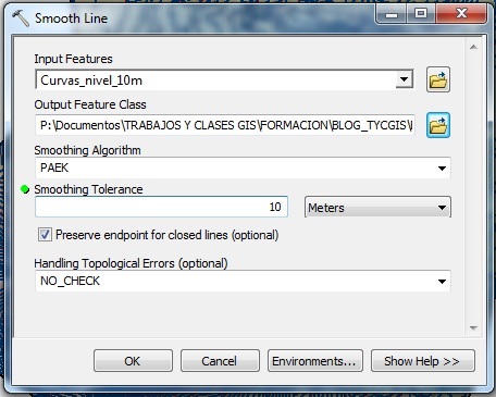
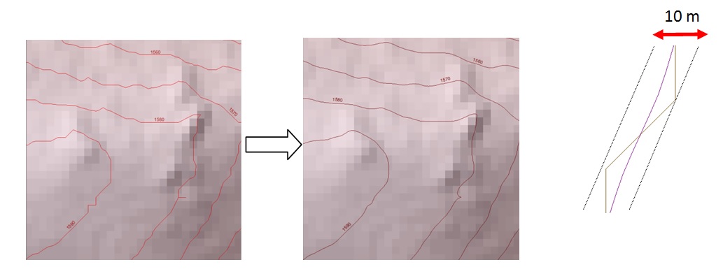
Due to the input raster field size, the contour line result will have a tough appearance with squares. To obtain smoother lines (although less accurate), we will use the Smooth Line tool available in:
![]()
- Introduce the contour line layer generated.
- Specify the location and name of the generated layer.
- Choose smoothing type.
In this example we use the PAEK method, which smooths lines in relation to a softening tolerance to be specified under Smoothing Tolerance. This distance represents the length of a moving path used to calculate new vertices. The shorter the length, more detail will be conserved and the processing time will be longer.
To detect topology errors produced by this tool, choose the FLAG ERRORS tool, that will create a SmogLnFlag field. If this field appears with value 1, its an indicator that there are some errors.
Quality training taught by professionals
RECOMMENDED TRAINING COURSE


Leave A Comment