Arctoolbox in Arcmap includes a specific tool to export shapes, rasters and maps to Google Earth.
First of all we need to make sure that our layer and layers ready to export have their coordinate system defined.
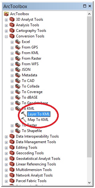
Next, we open Arctoolbox and double click Conversion tools > to kml. If we want to export a shape or raster, select Layer to Kml. Similarly, if we are interested in exporting an already prepared map to Google Earth, select the option Map to Kml.
We will add the layer that we want to export (Layer), followed by the location and name where we want to save the file (Output file) and we will fill the Layer Output Scale with 1.
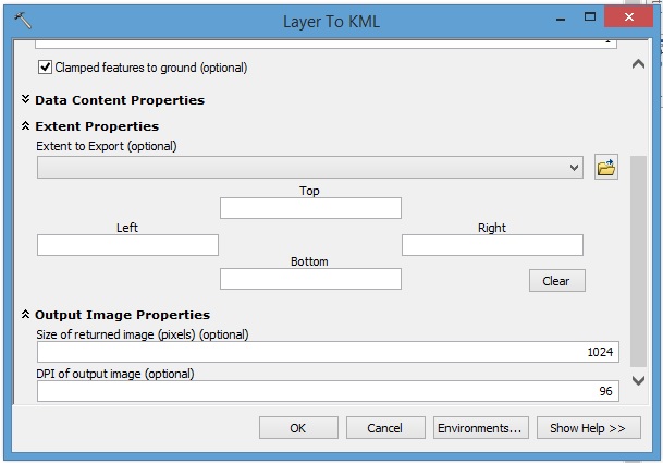
The dialog box that opens next, allows limiting the extension of the layer to export with another layer or through coordinates (Extent properties), the resolution (pixels) of the layer that will open in Google Earth (Output image properties), etc.
Next select OK.
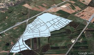
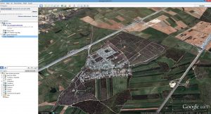
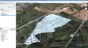
Finally we open Google Earth to load the KML file. Select File > Open.
Quality training taught by professionals
RECOMMENDED COURSE


Leave A Comment