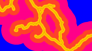
A common tool, mostly used in multicriteria analysis, is the construction of Euclidean distances. It consists in generating a raster from a vector layer or another raster that indicates the existing distances from that figure to the rest of the field in a visual and colourful way. Or said in a different way, it indicates the space that exists from a certain distance to another distance, which has a colour, and so on until a maximum distance is indicated or we have the raster predefined.
Go to: ArcToolbox Spatial Analyst Tools > Distance > Euclidean Distance
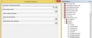
When working with raster data, the most recommended is to have the parameters pre-stablished or, if not, specify the maximum distance.
It works with lines as well as with polygons.
Layers

Polygons
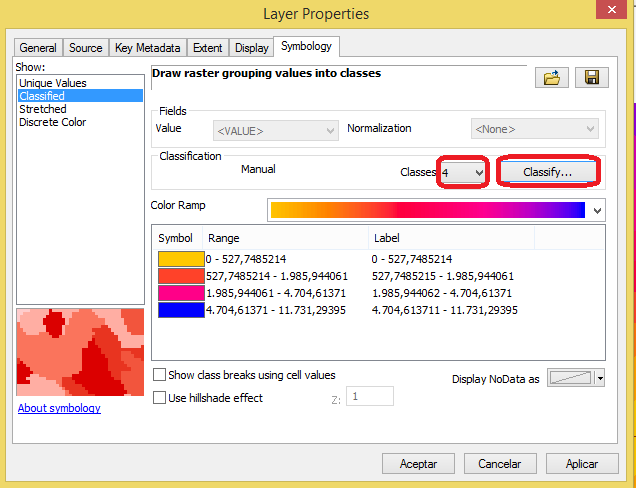
We can modify the distance between the different colours, as well as the quantity of colours and the shape type, as we do in a vector layer.
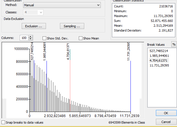
To do so, we right click the layer and select Symbology. In the dialog box, we will go to symbology where we will choose the quantity of colours or classes that we want to establish, and if we want to manually specify the distance that each colour is going to represent, we click the tab “Classify”.
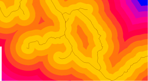
For this example, we will end with the following figure:
Quality training taught by professionals
RECOMMENDED COURSE


Leave A Comment