As we know so far, geographic data is stored in Attribute Tables. We can manage the data by creating, deleting, updating, and all the columns of each layer. They are characteristic operations in databases. ArcGIS is a Desktop application to work with cartography, but, overall, it is a database.
Joins are commands in every database which are executed for organizing the data stored in Spatial Attribute Tables and represent the best way as possible the features we have on a map.
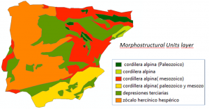
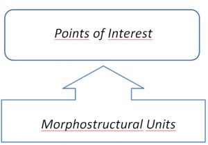
For this example, we are going to work with a Spanish Relief layer, due to its morphostructural variety. Furthermore, we have a layer with several points of interest. The aim is to know what morphostructural unit is in each point of interest. The following diagram explains what Join we have to do:
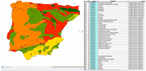
We have loaded two layers in ArcMap: Morphostructures Units (unidades_morfoestructurales_de_relieve) and Points of Interest (Puntos_interes).

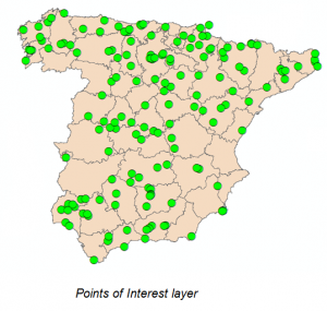
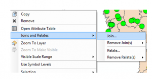
Now, select the layer from which we want to extract all the information. This is the Points of Interest layer, so right click on it and Join.
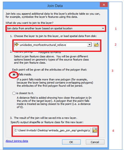
- Select the kind of Join to do: “Spatial Join” in this example (1).
- Select which layer we want to relate to Points of Interest. In this case, “unidades morfoestructurales de relieve”.
- Select what information will have Points of Interest the after the Join.
- Specify the path where the new layer is going to be stored.
Then, a new layer is generated, and in its Attribute Table we can see that each point of interest has its morphostructural unit.

Quality training taught by professionals
RECOMMENDED COURSE





Leave A Comment