TYC GIS TRAINING STUDENT'S FINAL PROJECTS
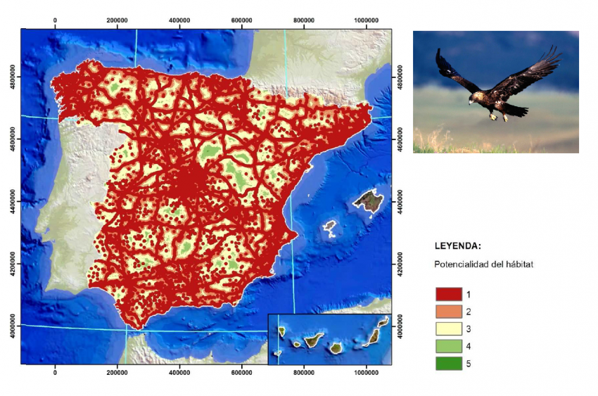
Habitat prediction model of the Spanish Imperial Eagle (Aquila adalberti) in Spain using Geographic information systems (GIS).

Student: Patricia Risueño Gabella (from Spain)
TYC GIS Course: In person GIS Specialist Course applied to the Environment
Enrolment date: February, 2014.
Format: In person
Description: “The Spanish Imperial Eagle (Aquila adalberti) is a bird of prey distinguished by its large size, strong beak, hard claws, and feathers changing with age. It’s one of the 10 species belonging to the Aquila genus, englobing the “great eagles”. Based on bibliographic information, a model using geographic information system has been created to predict potential habitat areas where the species could be present according to the niche concept…”
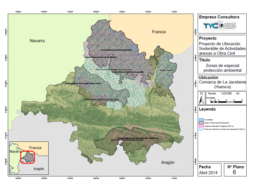
Project studying the sustainable location of civic engineering annex activities using ArcGIS.

Student: Sara Galindo Lite (from Spain)
TYC GIS Course: In person GIS Specialist Course applied to the Environment
Enrolment: February, 2014.
Format: In person
Description: “Creation of cartography using ArcGIS, focused on the “La Jacetania” (Huesca, Aragon, Spain) region, stablished on the Aragon river basin and the affluent of Canfranc, Aisa, Borau, Hecho and Anso valleys, Canal de Berdun and the Campo de Jaca region. Jaca is the seat of the region government.
The goal of this project is the localization and creation of cartography that shows environmental, social and economic most favourable areas for the situation of annex activities (quarries, inert waste and soil deposits) of a large scale civic engineering construction”.
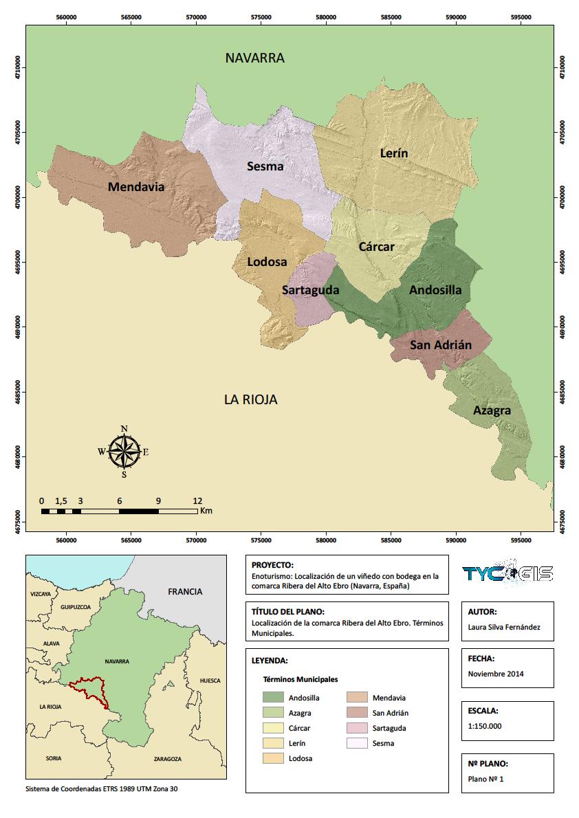
Location of a winery and wine cellar in the Alto Ebro´s riverbank (Navarra, Spain).

Student: Laura Silva Fernández (from Spain)
TYC GIS Course: Specialist ArcGIS 10 (User and Advanced) in person Course
Enrolment: October, 2014.
Format: In person
Description: “The Alto Ebro´s riverbank (Navarra, Spain) is the chosen area to carry out the present study. This region is located in the southern area of La Merindad de Estella and consists of 9 municipalities (Map Nº1): Andosilla, Azagra, Cárcar, Lerín, Lodosa, Mendavia, San Adrián, Sartaguda and Sesma…
The main goals of the project are the following:
– Create the planning of the Alto Ebro´s riverbank (Navarra, Spain) subarea. Through this methodology, a general proposal to alternative locations inside the study zone of a winery with its corresponding installations will be created, taking into account the possibilities and restrictions of the natural environment to guarantee the conservation of nature and the effective execution of human activities ( Martinez, 2004).
– Choose the best location to implement a winery with its wine cellar inside the study area.
– Create an electrical outline proposal to supply the project installations…”
