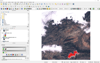
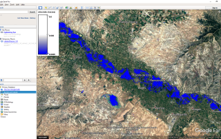
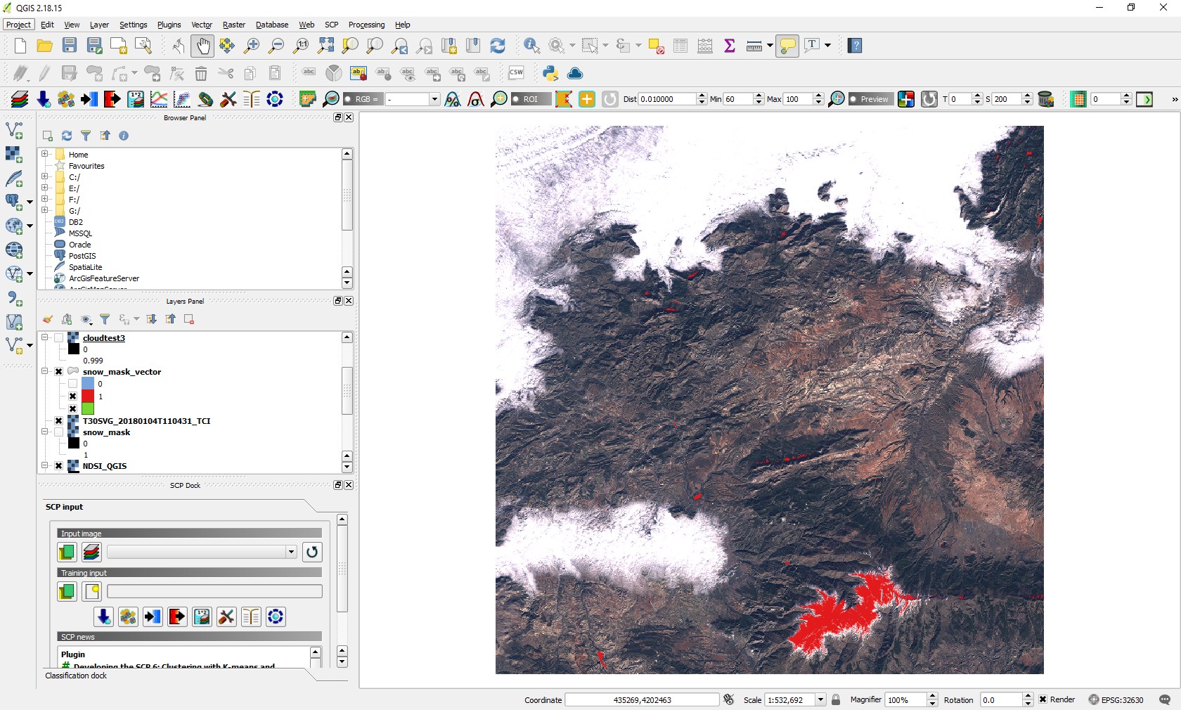
Delineate snow using Normalized Difference Snow Index, Sentinel 2 and QGIS
The Sentinel-2 mission is a land monitoring constellation of two satellites that provide high resolution optical imagery and provide continuity for the current SPOT and Landsat missions. Sentinel-2 satellite data is provided in multiple levels and stages of processing, from raw data to already TOA, geometric and radiometric calibration (Level-0, Level-1A, Level-1B and Level-1C). SENTINEL-2 [...]