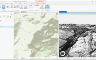
3D visualization of vector and raster data with ArcGIS Pro
ArcGIS Pro is a big step forward in the visualization, analytics, image processing, management and integration of spatial data. One of the greatest advantage of using ArcGIS Pro is the possibility of visualize your data in 2D and 3D separately or simultaneously. This can be made in a simple and easy way, through the function [...]


