About Santiago Pardini Hernanz

Profesional del sector de la consultoría gis y de teledetección en TYC GIS Soluciones Integrales, licenciado en Ciencias Ambientales por la Universidad de Almería y Máster en Ingeniería y Gestión Medioambiental por la Escuela de Organización Industrial (EOI). Cuenta con varios cursos de especialista en Sistemas de Información Geográfica, Teledetección, CAD y BIM y con más de 5 años de experiencia aplicando estas tecnologías en la consultoría ambiental, diversas ingenierías, Geomarketing, Ordenación Territorial, etc.
1 09, 2015

Applications of ArcGIS software in Geology and Mining

By |2018-02-06T14:50:59+00:00September 1st, 2015|BLOG|3 Comments

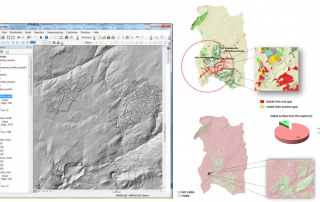
The ArcGIS Course applied to Geology and Mining is particularly suitable for professionals in these areas who want to gain an advanced knowledge of this powerful software, and specifically of those tools that are very useful to the fields of geology and mining. Let’s review in this post some of the most interesting contents regarding [...]

27 02, 2015

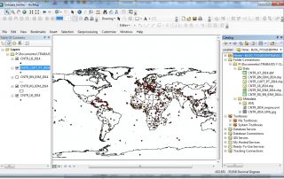
Download free layers in vector format (shape *.shp) from all the world countries!

By |2017-10-26T11:31:44+00:00February 27th, 2015|BLOG|1 Comment

The European Statistics Office,EUROSTAT, offers totally free digital cartography of the world in general – and Europe in particular – in vector format (layers in shapefile format)! […]

Title

Go to Top