Packaging maps in ArcGIS (Package Maps)
Map packages are useful to save map documents and share this information with others or in other computers. […]
Map packages are useful to save map documents and share this information with others or in other computers. […]
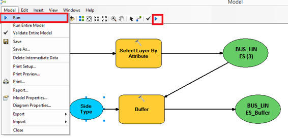
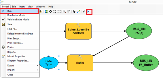
In relation to our last post, Building tools in ArcGIS with “ModelBuilder”, today we are going to demonstrate how to save ModelBuilder. Once ModelBuilder is generated (as seen on previous steps), it can be saved to be used as one more tool. […]
ModelBuilder is a simple visual model used to generate the sequencing of different tools. If you follow a series of equal steps with different layers, with this model you can create one tool for doing so in one step. […]
Thanks to the technological development and evolution, today there are many online tools applied to Geographic Information Systems. We can use these tools easily and fast for a lot of applications, and, in their majority, for free. * Image by Anthony in Book Cover Cafe […]
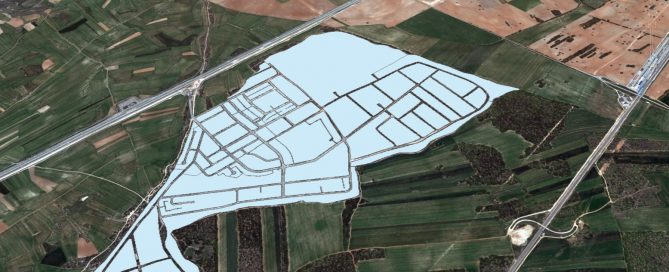
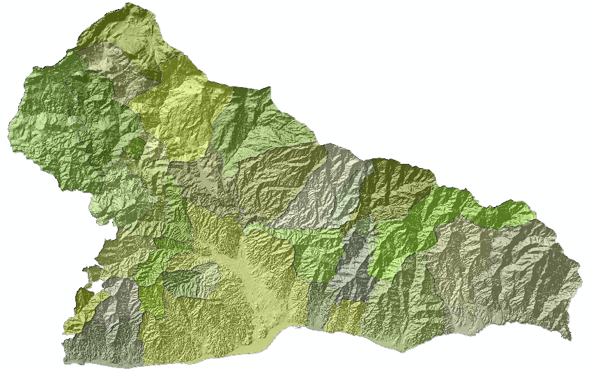
It is possible to select a specific area of a raster using another layer (raster or entity) as a template whose extension delimits the extent of the output raster. The output raster will maintain its attribute table, bounded to the extension that we have imposed. […]
As you already know, last Wednesday April 22 was the international Earth Day. This is a special day dedicated to remember all the things that our mother Earth is giving us every day, and how important it is to preserve this patrimony. […]
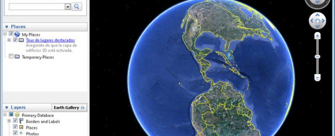
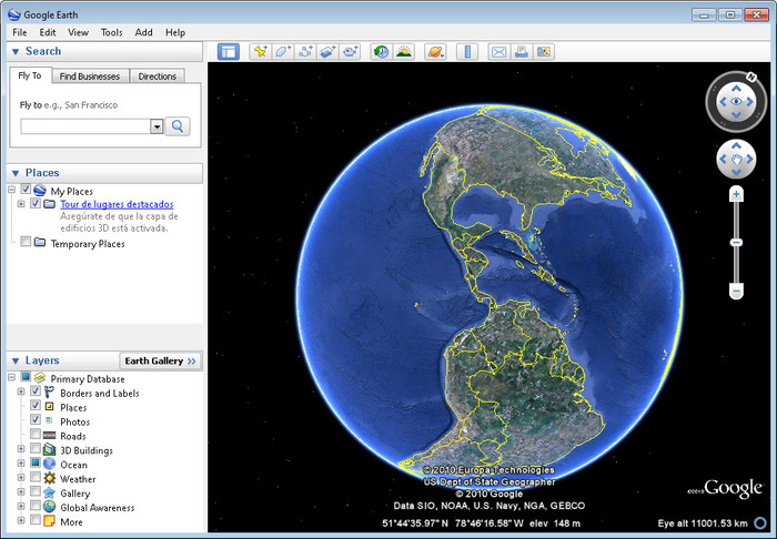
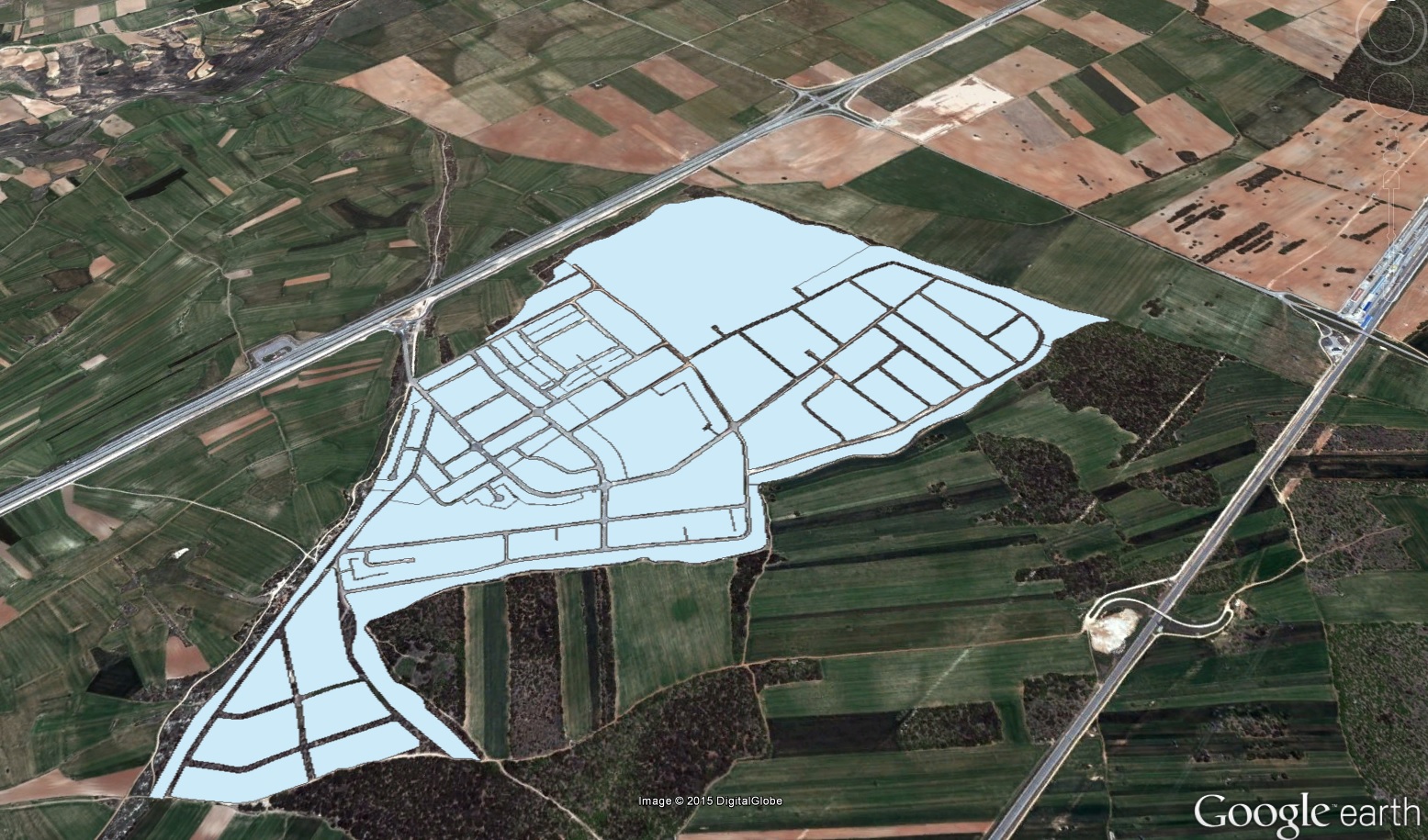
Arctoolbox in Arcmap includes a specific tool to export shapes, rasters and maps to Google Earth. First of all we need to make sure that our layer and layers ready to export have their coordinate system defined. Next, we open Arctoolbox and double click Conversion tools > to kml. If we want to export a shape or raster, select Layer to Kml. Similarly, if we are interested in exporting an already prepared map to Google Earth, select the [...]
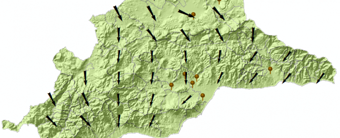
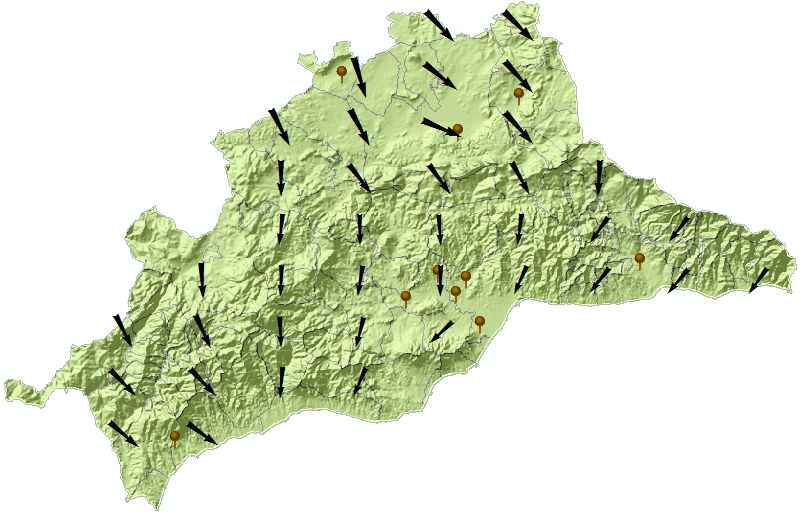
Here we can see the wind map of Malaga (Spain), based on the speed and direction data registered last week in a group of meteorological stations. […]
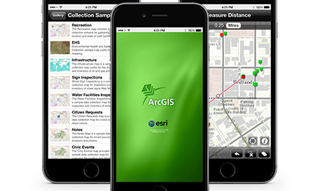
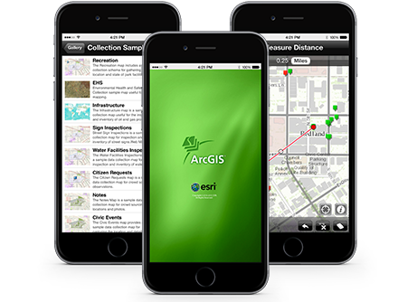
ArCGIS for smartphones and tables is a free ESRI application available for download on the Apple AppStore, Google play, Amazon Appstore and Windows Phone Marketplace. […]
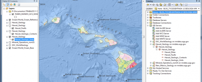
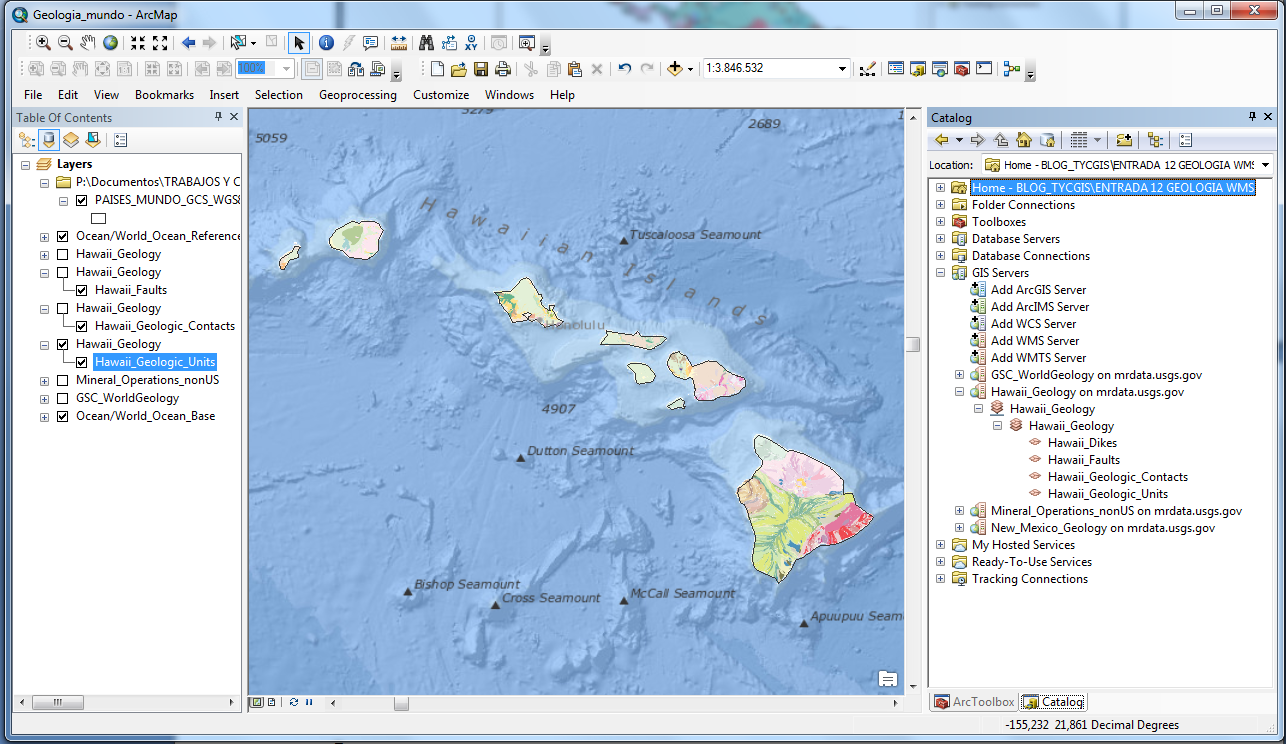
From the US Geological Survey USGS website we can have access to geological information from almost anywhere around the world, using WMS servers that can be included in any GIS program. (* We need to take into account that these online services can be temporarily unavailable or stop working at some point). […]

