Stunning images of the fast changes produced on our Planet
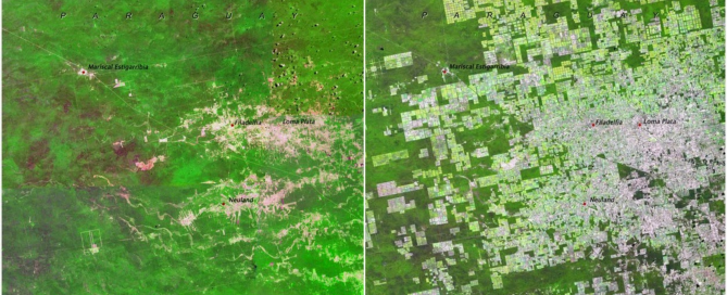
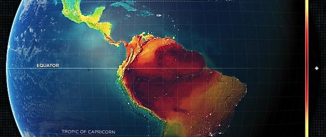
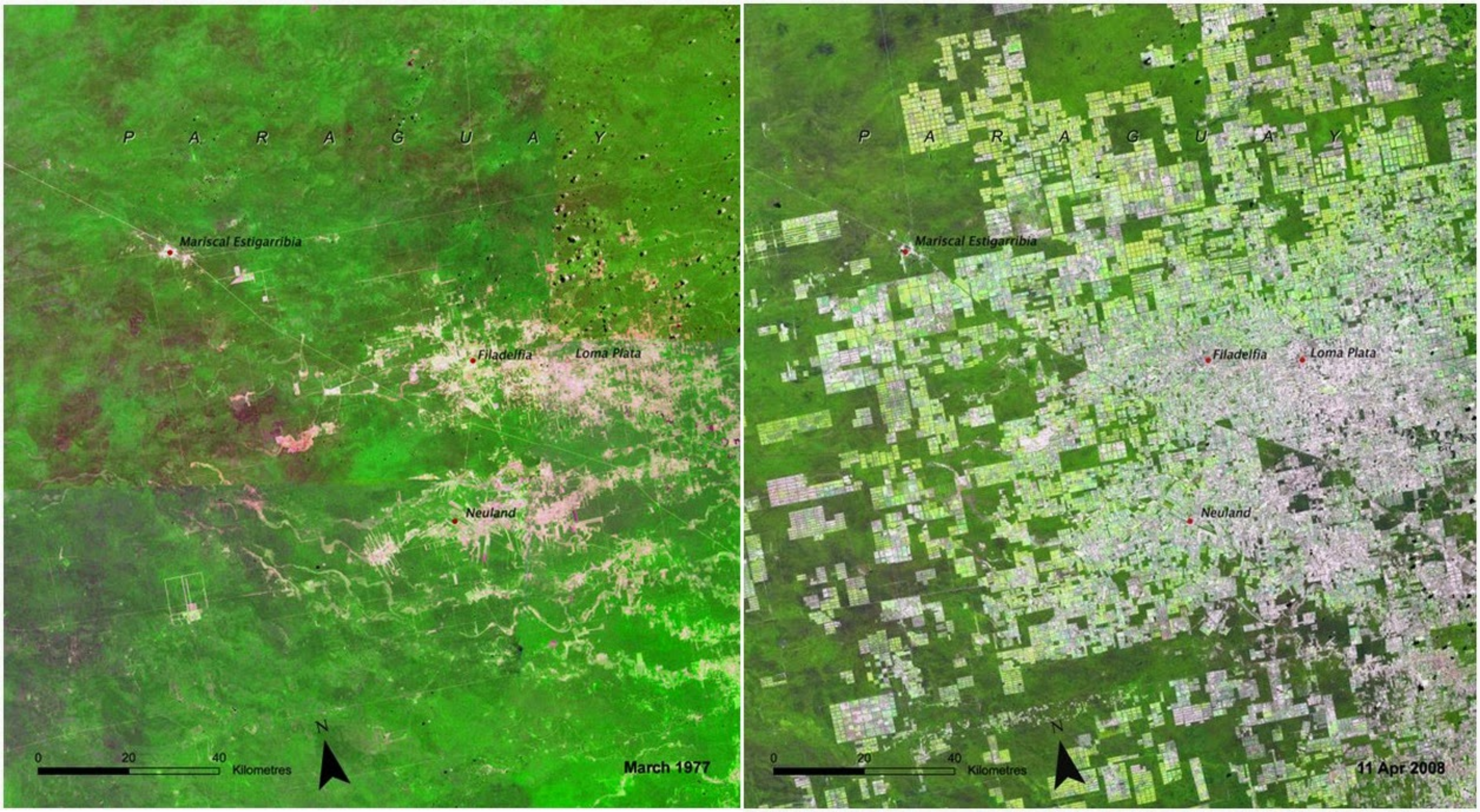
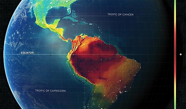
The Earth is constantly changing. The cause of these changes is both natural as well as produced by human activity. Lake shrinkage, Central Asia […]
The Earth is constantly changing. The cause of these changes is both natural as well as produced by human activity. Lake shrinkage, Central Asia […]
The Specialist ArcGIS 10.x and ArcGIS PRO Courses, will provide you with advanced knowledge regarding the main tools included in ArcGIS Desktop, the most extended and demanded software in the GIS labour market. […]
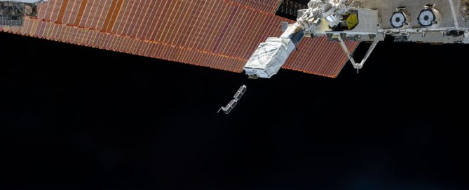
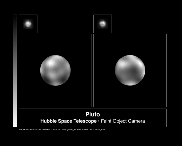
In 1990, the Hubble Space Telescope (HST) was launched into Earth orbit, since then remaining in operation. With the celebration of its 25th anniversary, we will remember in this post the most amazing things that Hubble has discovered, and how important are these for science. […]
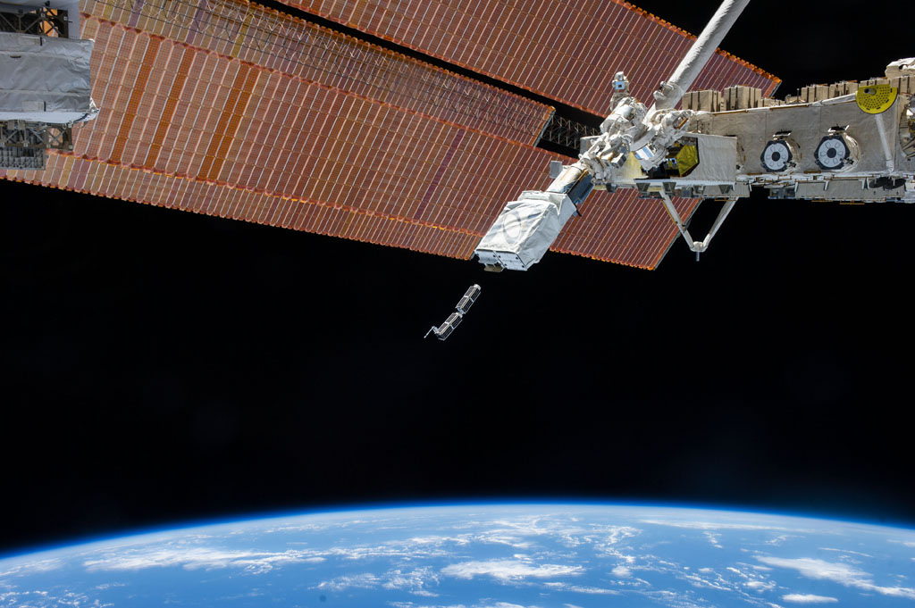
Imagine satellite´s images from the Earth being updated on a daily basis, offering high resolution pictures. Nowadays this is happening thanks to start ups focused on launching mini satellites to the Earth´s orbit, costing far less and providing images at a faster rate than traditional satellites. […]
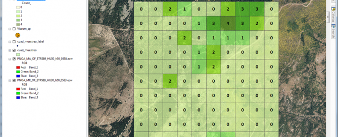
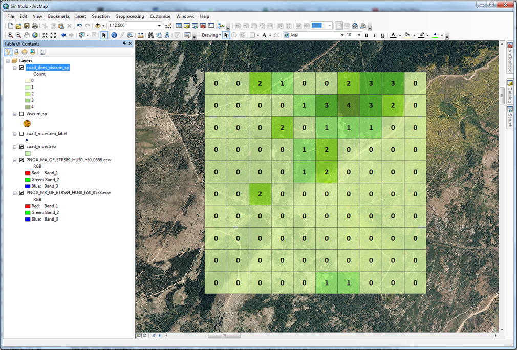
Today we will demonstrate how to apply ArcGIS 10 in wildlife and vegetation sampling for environmental surveillance, environmental impact studies, scientific studies, etc. […]
A set of maps that show the world´s global biodiversity of different animal species is available online. A group of researchers in the US just published very precise biodiversity world maps; at least 100 times more accurate than other similar works. […]
While working with ArcGIS, it is essential to save correctly the files that we have worked with. If not done, we could suffer effort and time loss! […]
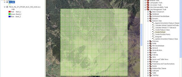
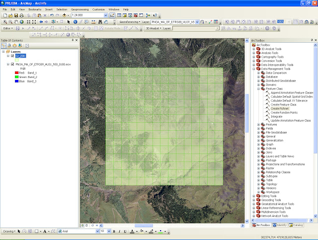
With ArcGIS you have the possibility of creating a fishnet of rectangular cells and the output can be polyline or polygon features. […]
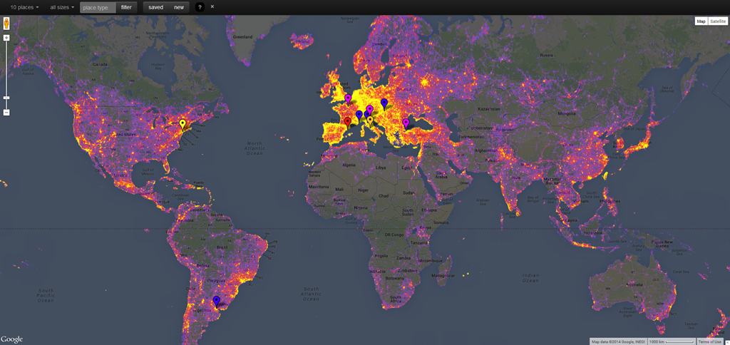
Sightsmap is a GIS that quantifies the most photographed places in the world through heat maps. This is, it generates high resolution heat maps that illustrate the number of pictures regarding sites worldwide. […]
Some of you have been wondering how to visualize and use information included in projects created with ArcView. If you have ArcMap on your computer, you can import this information and open it in a project with *.mxd extension. […]

