27 05, 2015

Extract a raster by attributes using ArcGIS

By |2017-10-30T12:48:27+00:00May 27th, 2015|BLOG|0 Comments

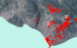
There exists the possibility to select those raster cells that comply with a certain criteria based in the values adopted by each of them. To do so, we will use this simple ArcToolBox tool “Extract by Attributes” that belongs to the tool group “Extraction” in the “Spatial Analyst” toolbox. […]

18 05, 2015

What is HEC-RAS and what is it useful for?

By |2018-05-11T07:29:54+00:00May 18th, 2015|BLOG|3 Comments

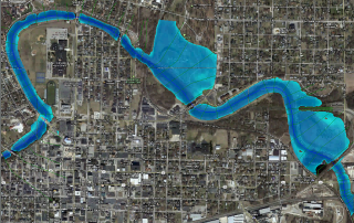
When we study a segment of a specific river to see where the water would flow if reached a certain value, different questions arise such as what will be the height reached by the water profile? Will surrounding areas be flooded? To what extent? It is not an easy task to answer these questions as we [...]

24 04, 2015

Interesting Environmental Maps Remembering Earth Day

By |2017-10-30T08:53:53+00:00April 24th, 2015|BLOG|0 Comments

As you already know, last Wednesday April 22 was the international Earth Day. This is a special day dedicated to remember all the things that our mother Earth is giving us every day, and how important it is to preserve this patrimony. […]

Title

Go to Top