23 04, 2015

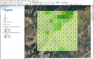
Export ArcGIS files to Google Earth (.kml)

By |2017-10-27T15:07:02+00:00April 23rd, 2015|BLOG|0 Comments

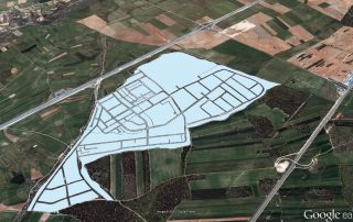
Arctoolbox in Arcmap includes a specific tool to export shapes, rasters and maps to Google Earth.   First of all we need to make sure that our layer and layers ready to export have their coordinate system defined. Next, we open Arctoolbox and double click Conversion tools > to kml. If we want to export a shape or raster, select Layer to Kml. Similarly, if we are interested in exporting an already prepared map to Google Earth, select the [...]

17 04, 2015

Load Geology WMS servers from around the world using ArcGIS

By |2017-10-27T14:26:25+00:00April 17th, 2015|BLOG|0 Comments

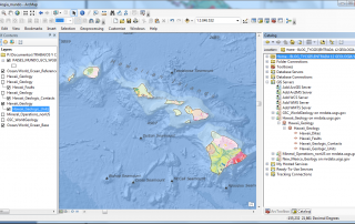
From the US Geological Survey USGS website we can have access to geological information from almost anywhere around the world, using WMS servers that can be included in any GIS program. (* We need to take into account that these online services can be temporarily unavailable or stop working at some point). […]

14 04, 2015

Develop your Geographic Information System skills with our ArcGIS and ArcGIS PRO courses

By |2017-10-27T10:37:05+00:00April 14th, 2015|BLOG|0 Comments

The Specialist ArcGIS 10.x and ArcGIS PRO Courses, will provide you with advanced knowledge regarding the main tools included in ArcGIS Desktop, the most extended and demanded software in the GIS labour market. […]

9 04, 2015

Celebrating Hubble´s 25th Anniversary

By |2017-10-30T12:33:05+00:00April 9th, 2015|BLOG|0 Comments

In 1990, the Hubble Space Telescope (HST) was launched into Earth orbit, since then remaining in operation. With the celebration of its 25th anniversary, we will remember in this post the most amazing things that Hubble has discovered, and how important are these for science. […]

6 04, 2015

Satellite Imaging & Technology: Daily Earth Data

By |2017-10-27T08:08:32+00:00April 6th, 2015|BLOG|0 Comments

Imagine satellite´s images from the Earth being updated on a daily basis, offering high resolution pictures. Nowadays this is happening thanks to start ups focused on launching mini satellites to the Earth´s orbit, costing far less and providing images at a faster rate than traditional satellites. […]

27 03, 2015

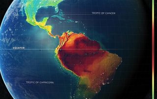
World´s biodiversity mapping to observe endangered species

By |2017-10-26T15:47:14+00:00March 27th, 2015|BLOG|0 Comments

A set of maps that show the world´s global biodiversity of different animal species is available online. A group of researchers in the US just published  very precise biodiversity world maps; at least 100 times more accurate than other similar works. […]

Title

Go to Top