18 02, 2015

How to calculate true distance over a surface using ArcGIS

By |2017-10-26T10:58:20+00:00February 18th, 2015|BLOG|0 Comments

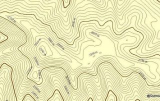
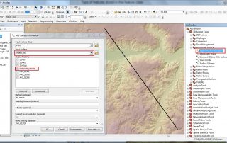
It is quite probable that for some of our analysis we will need to include the distance between two given points, measured in a straight line. We will need to value if we need to take into account the topography of the study area to calculate this data. If this is so, we can easily do [...]

12 02, 2015

How to create a point vector layer from X, Y coordinates using ArcGIS

By |2017-10-26T11:09:28+00:00February 12th, 2015|BLOG|0 Comments

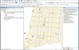
In this short tutorial we will show you how to create a vector point layer using coordinates data, stored in an excel sheet. We are going to map the museums located in the central part of Madrid (Spain). […]

12 02, 2015

Welcome all to GISCOURSE.COM

By |2017-10-26T08:16:00+00:00February 12th, 2015|BLOG|0 Comments

TYC GIS SOLUTIONS is very happy to announce the launch of its GIS training courses section in English available on our GISCOURSE.COM platform. GisCourse.com belongs to the TYC GIS Solutions group; consulting firm specialized in the counselling and technical training through GIS Software applications (ArcGis, GvSIG, QGIS, Globalmapper, etc.). Our team with extensive experience in the sector, [...]

Title

Go to Top