4 03, 2016

Find and download the quality that fits best your data requirements (remote sensing)

By |2017-11-02T12:26:09+00:00March 4th, 2016|BLOG|0 Comments

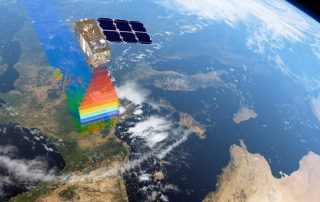
The first part of every project  is to find out where to download the best quality of data. In this post, we show some fundamental notions to start to look for this kind of data. […]

25 01, 2016

Data for Remote Sensing and GIS

By |2017-11-06T08:56:44+00:00January 25th, 2016|BLOG|0 Comments

One main feature for a person who is starting to study Remote Sensing and GIS sciences, is to know how to download the most useful data for his corresponding study area. Getting to know the scales and resolutions that better fixes to that area, downloading the necessary features… and so on, we will cover them [...]

13 01, 2016

A workflow for “Collector”

By |2017-11-02T10:32:52+00:00January 13th, 2016|BLOG|0 Comments

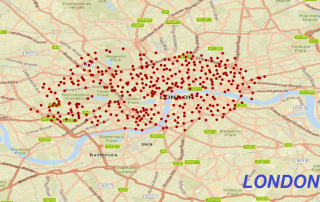
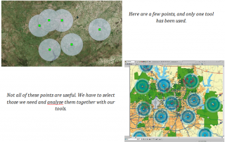
Would you like to build an useful application in your mobile device using ArcGIS? Don’t worry, it won’t take long to discover the best features in one of the most  powerful GIS platform. In this post, we are going to use an example with the Bike Stations of London, preparing a layer from a KML [...]

8 01, 2016

This year’s ‘ENSO’

By |2017-11-02T09:21:10+00:00January 8th, 2016|BLOG|0 Comments

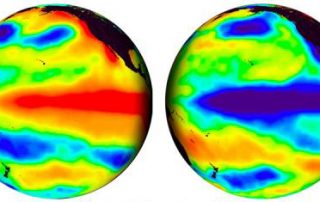
Why is the climate changing so fast? Is it true that the human race has been changing the climate through these years?  Of course, YES. And concretely, this year, weather has been gone mad. Due to climate change (in our previous post, we have commented studies that prove this event) but furthermore, due to ‘El [...]

18 12, 2015

Table Join between vector layers for Geology

By |2017-11-06T09:19:34+00:00December 18th, 2015|BLOG|0 Comments

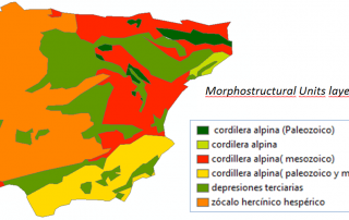
As we know so far, geographic data is stored in Attribute Tables. We can manage the data by creating, deleting, updating, and all the columns of each layer. They are characteristic operations in databases. ArcGIS is a Desktop application to work with cartography, but, overall, it is a database. […]

17 12, 2015

Downloading chlorophyll data using MGET

By |2017-10-31T16:29:43+00:00December 17th, 2015|BLOG|0 Comments

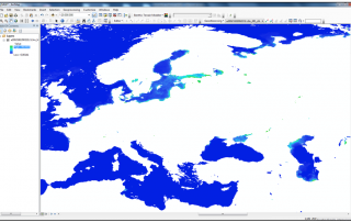
MGET is a set of tools that provides us the capability to download chlorophyll data. This kind of data is really important for modeling and visualizing raster layers according to the presence of chlorophyll on the map. To start with, we are going to search for NASA GSFC Ocean Color. This website hosts a great deal [...]

Title

Go to Top