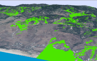
Euclidean distance in ArcGIS
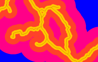
A common tool, mostly used in multicriteria analysis, is the construction of Euclidean distances. It consists in generating a raster from a vector layer or another raster that indicates the existing distances from that figure to the rest of the field in a visual and colourful way. Or said in a different way, it indicates the [...]

