In this exercise we will try to incorporate the height of the build-up areas (average height of 15 m) above the surface of a digital terrain model. In order to do that we will have to follow a few simple steps.
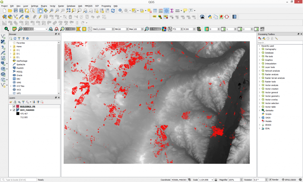
Step 1: Load your necessary data into QGIS map canvas
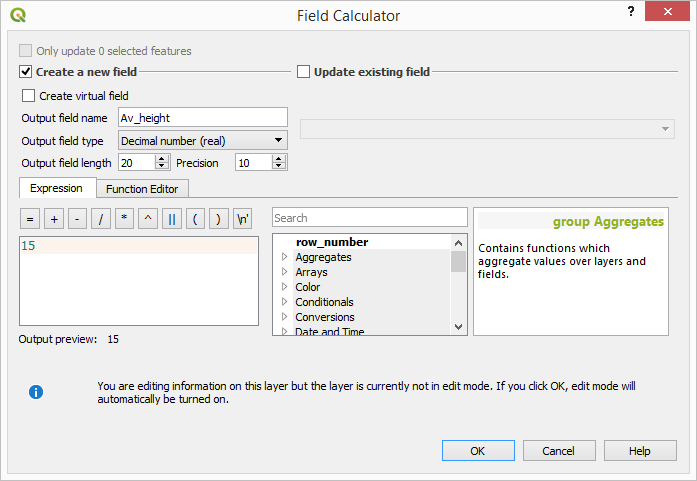
Step 2: We will have to rasterize the build up areas, but before performing this step we will need to introduce the information about the average height (of 15 m) into the vector attribute table. We must create a new field and specifying the average height of the buildings. Use field calculator to do that.

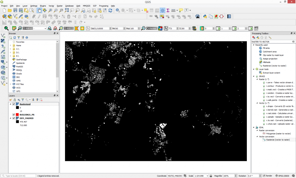
Step 3: Rasterize the layer based on the new added value. Go to Raster > Conversion > Rasterize (Vector to Raster).

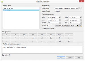
Step 4: To incorporate the buildings into the Digital Elevation Model we will use the raster calculator function.
The final result should look like this.
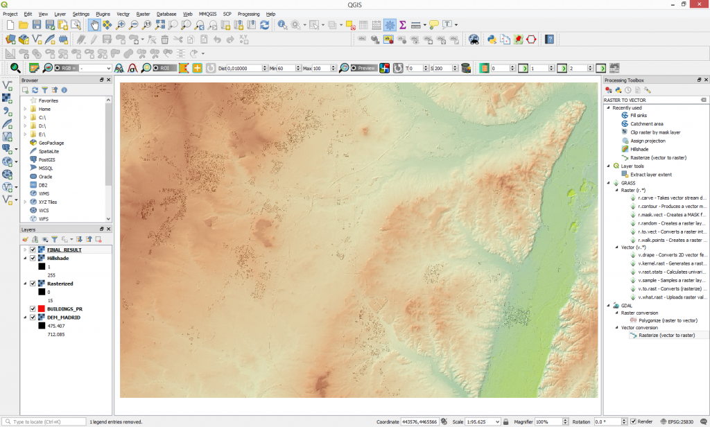
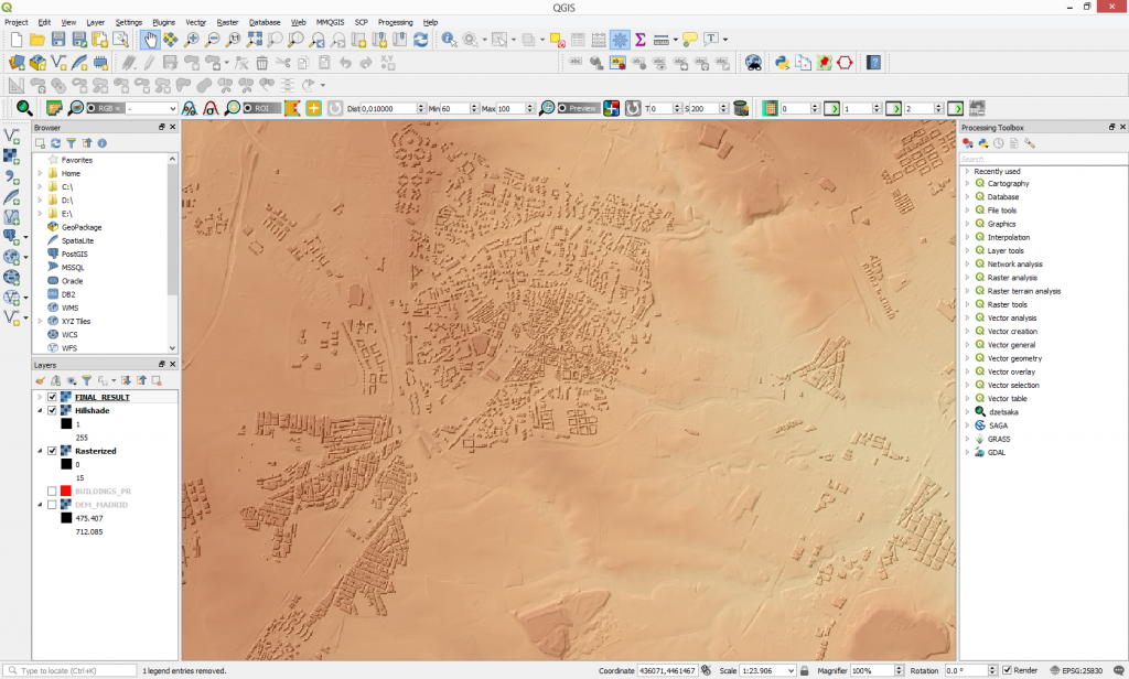
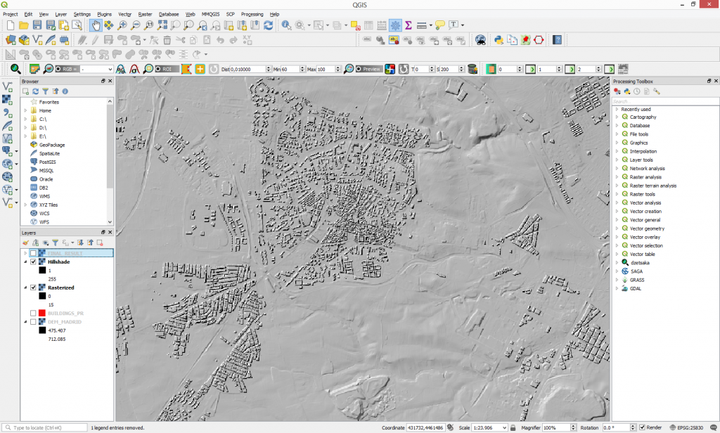
Before and after the building integration.

Quality training taught by professionals
RECOMMENDED COURSE




Leave A Comment