USING PYTHON WITH QGIS
ONLINE TRAINING
START DATE: AVAILABLE SOON (80 hours)
PRICE: 250 € (Standard fee) | 225 € (Student / Unemployed fee)
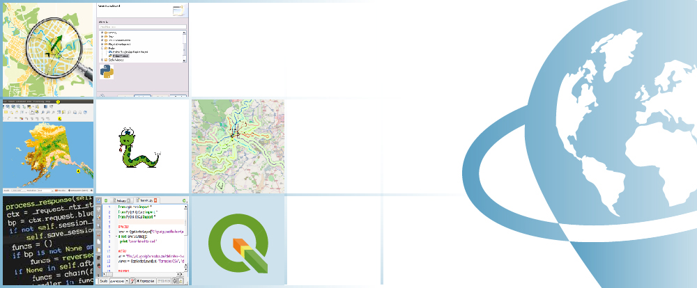
During this course, the students will be able to expand their capabilities in QGIS, using Python programming language. They will learn to develop Python scripts using pyQGIS in order to automate workflows and geoprocesses (such as loading data, different spatial analysis, development of cartographic products, publishing maps online).
The course aims to train the students in the usage of QGIS along with Python programming language and in the development of scripts with pyQGIS, aiming to improve and rush existent user interface workflows, for better results and performance.
Enrolled students in this online course will have access to our virtual e-learning platform (which is available 24 hours), where they will find the content of the course, practical exercises, forum discussion and additional content. One of the advantages of this online platform, is that students can benefit of real time support and assistance offered by the instructor (2 hours per week), whom they can contact via direct messages, regarding course related issues, at any moment. They can also contact the instructor via email.
- Learn from scratch about capabilities and functionalities QGIS offer, regarding the development possibility.
- Understand how Python programming language works.
- Develop a geoprocessing workflow using ModelBuilder for QGIS.
- Develop a Python script in order to manage raster and vector files.
- Develop a vector and raster geoprocessing model.
- Learn about PyQT 4 API for QGIS.
- Develop your own plugin with “Pluging Builder” in QGIS.
1 - INSTALL QGIS
- Introduction
- Download and install
- GUI Graphical User Interface of QGIS
- Plugins
Practical exercise 1: Installation of QGIS, plugins installation.
2 - QGIS DEVELOPMENT
- Two ways to develop
– Using Model Builder
– Using Python - Model Builder
– What is it?
– How you can work with it? - Python
– What is it?
– How you can use it?
– Through console
– Through IDE
Practical exercise 2: Get familiar with Model Builder and Python and see how you can use them with QGIS.
3 - MODEL BUILDER
- Develop a chain workflow with Model Builder
– Inputs
– Chain geoprocesses
– Run
– Save/Load
– Edit the model
– Convert model to Python code
4 - PYTHON
- Syntax
– Tabs
– Variables – what they are and how to declare them
– Data types – numbers, strings, lists, tuples
– Expressions
– Import modules
– Comments - Numerical and text (string) data
– Operations with numerical data
– Operations with text (string) data - Arrays, lists and tuples.
- Conditional statements (if, else if, etc.)
- Loops (for, while, etc.)
- Functions
- Orientated to objects
Practical exercise 4: Get familiar with Python programming language.
5 - WORKING WITH VECTOR DATA
- Generate a geoprocessing vector model using model builder
- First steps with pyQGIS using vector data
– Access vector data
– Perform queries on vector layers
– Feature entity selection
– Iterate through layers
– Add, modify or delete
– Symbolize - Script development via IDE
Practical exercise 5: Generate a model and a Python script for processing vector data (using Model Builder and pyQGIS).
6 - WORKING WITH RASTER DATA
- Raster data types
- Generate a geoprocessing raster model using Model Builder
- First steps with pyQGIS using raster data
– Rendering
– Work with one band raster
– Work with multi-band raster#
– Refresh
– Queries - Script generation
Practical exercise 6: Generate a model and a Python script for processing raster data (using Model Builder and pyQGIS).
7 - PyQt4
- About PyQt4 API?
- MapCanvas
- Components
– Qt Designer
– Qt Assistant
Practical exercise 7: Accessibility exercises.
8 - PLUGIN DEVELOPMENT
- Necessary components
- Use scripts from external sources
- Plugins architecture
- Plugin creation and development
Practical exercise 8: Develop a plugin using Plugin Builder.

Ricardo García Álvarez
Why should we learn to use QGIS?
Geographic Informational Systems (GIS) are rapidly spreading and becoming an essential tool in many work fields including, engineering, environment, geography, geology and mining, emerging sciences, geomarketing, etc. From all open source GIS software products, QGIS is the best due to, its large online support community, which always favor up to date status, continuous development of new capabilities, easy integration with other open source packages and improved performance with each release.
Do I need previous QGIS training?
No, the training course starts from the very beginning. You do not need any previous QGIS knowledge.
I do not have the software QGIS, what are my options?
QGIS it is a free, open source software that can be downloaded from the official website (http://www.qgis.org/en/site/). It is very simple to get and install it on your computer. However, in each course we have included a help manual that is come in handy if you want to download and install QGIS on your local machine.
Our online courses, are distributed via Moodle, the world’s most popular learning platform. It is a highly flexible Learning Management System that can be used to conduct and access courses, accomplish tasks of practical exercises, interact face-to-face to the teaching staff or benefit of support and resources at any time.
The online platform can be accessed 24 hours a day, in which the student will be able to ask for help at any given moment. The instructors will act as supervisors during all the training process, offering support for any possible difficulty encountered by the students along the course.
The course is structured in different modules, making it easy for the student to search for training material, download information, complete practical exercises and take assessments in order to verify their new gained abilities. The instructors will assist the students throughout all the course period, offering progressive help and information according to their evolution.
250 € (Standard fee) / 225 € (Student / Unemployed fee)*
*To enjoy this discount, you must include a copy of a document that proves your situation along with the registration form.
** If you want to know the price in other currencies, you can consult the following online converter: The Money Converter

Step 1. Request your registration to the training course completing the pre-registration document (Registration Form) and send it via email to training@tycgis.com.

Step 2. As soon as we receive it, we will send you an enrolment guide with the complete information to enroll in the course: dates, schedule, software needed for the course and the installation guide. The payment methods are included in this document.

Step 4. Once we receive the receipt, we will confirm your registration to the course via email.

NATIONAL WIRE TRANSFERS (INSIDE SPAIN):
ACCOUNT NUMBER: 0049 1809 222710347481 (Banco Santander)
BENEFICIARY: TYC GIS Soluciones Integrales SL
SUBJECT: “Student Name” and PYQGIS COURSE ON
INTERNATIONAL WIRE TRANSFERS:
BANK NAME: Banco Santander
BANK ADDRESS: Glorieta Ruiz Jiménez 1, 28015 Madrid (España).
BENEFICIARY: TYC GIS Soluciones Integrales SL
BENEFICIARY ADDRESS: Calle Fuencarral 158, Entreplanta, Oficina 16-17 28010 Madrid (España).
ACCOUNT NUMBER: ES90 0049 1809 222710347481
SWIFHT: BSCHESMM – IBAN: ES90
If you have payment difficulties, contact us


 (22 votes, average: 4.36 de 5)