A set of maps that show the world´s global biodiversity of different animal species is available online. A group of researchers in the US just published very precise biodiversity world maps; at least 100 times more accurate than other similar works.
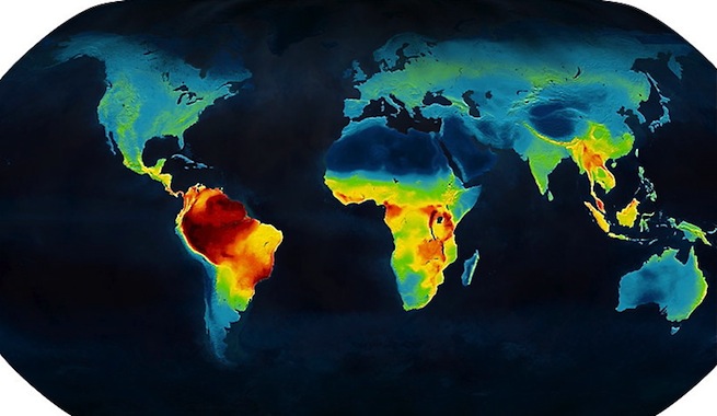
These maps intend to reflect the priority points on the planet that need special conservation. The scientific team of North Carolina University, directed by Clinton Jenkings, wants to help the animal’s world protection, not only through cartography, but by improving the conservation of endangered species through this work.
Identifying areas of biodiversity is essential to know how to manage conservation resources efficiently, as explained in the study published in the Proceedings of the National Academy of Sciences journal.
The study has handled 21,000 vertebrate species data that were used in areas of 10 by 10 kilometers for the development of the map, making it 100 times more accurate than previous studies. A huge effort, as Jenkins says, “To know where each species lives, which are most vulnerable and where our actions can harm them. We have better data and methods of analysis. Now we have joined with conservation purposes.”
The maps are represented in different shades of colors, being red and yellow assigned to those areas with most animal diversity.
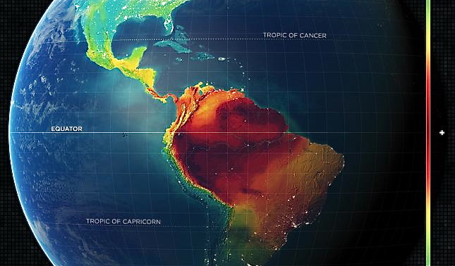
As we can see, the tropics contain the biggest species richness, specifically in the Amazon. Nevertheless, animal´s diversity evolution is different depending on the species, the Amazon still being the greatest in richness. The next maps reflect these differences.
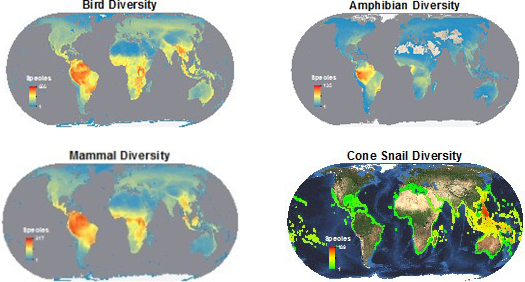
The same thing happens with the location of threatened birds, amphibians or mammals.
THREATENED BIRDS
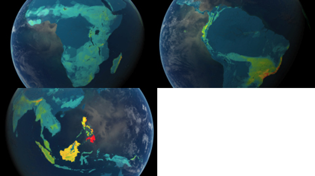
THREATENED AMPHIBIANS
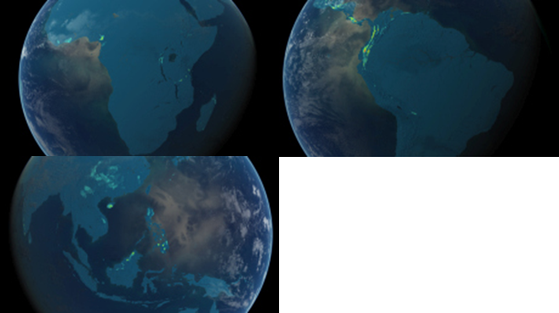
THREATENED MAMMALS
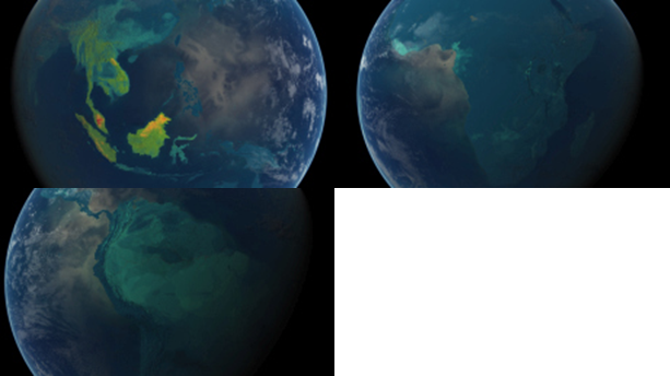
For more information or to download GIS data visit the Biodiversity Mapping website: http://biodiversitymapping.org/download.htm
Quality training taught by professionals
RECOMMENDED COURSE


Leave A Comment